Modelling and Mapping Resources

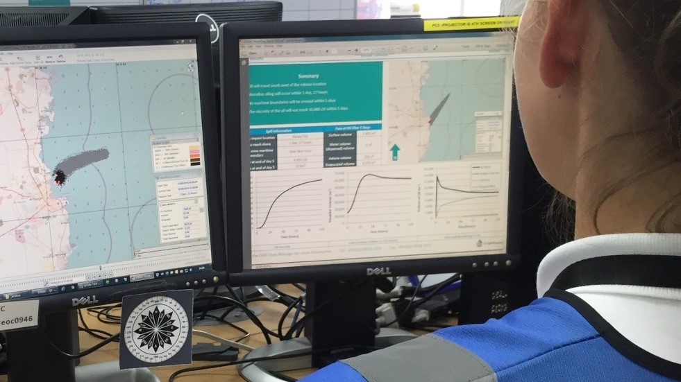
Showcasing Our People: Simon Blaen - Geomatics Supervisor
Simon Blaen, Geomatics Supervisor, tells us more about the OSRL Geomatics Team and developments during Covid-19.

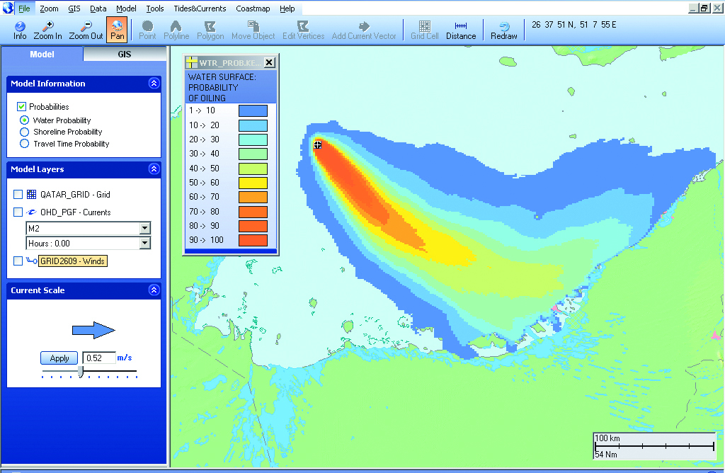
Use of Oil Spill Modelling in Support of Planning and Response Activities
Hon Phui Hang, Response Readiness Lead (APAC) and Simon Blaen, Geomatics Supervisor to learn more about how OSRL uses oil spill modelling.

Technical Information Sheet: Oil Spill Response Modelling in Oilmap
This datasheet provides a summary of key facts about the 2D OILMAP (TM) model which allows for rapid trajectory modelling of oil spills.

Beyond The Model
Liam Harrington-Missin, our globally recognised Geomatics specialist, gives his view on the state of oil spill modelling.
The latest modelling and mapping insights and documents
Our oil spill modelling and mapping resources provide an insight into how oil spill modelling is used during an oil spill and modelling for oil spill contingency plans. Discover recorded webinars, podcasts and much more.


