The Capability of Unmanned Aerial Vehicles (UAV)
UAVs can provide a distinct advantage during a spill response when compared to traditional methods of surveillance for certain scenarios. UAVs are an added tool in the surveillance tool box.
Range and Benefits of UAVs
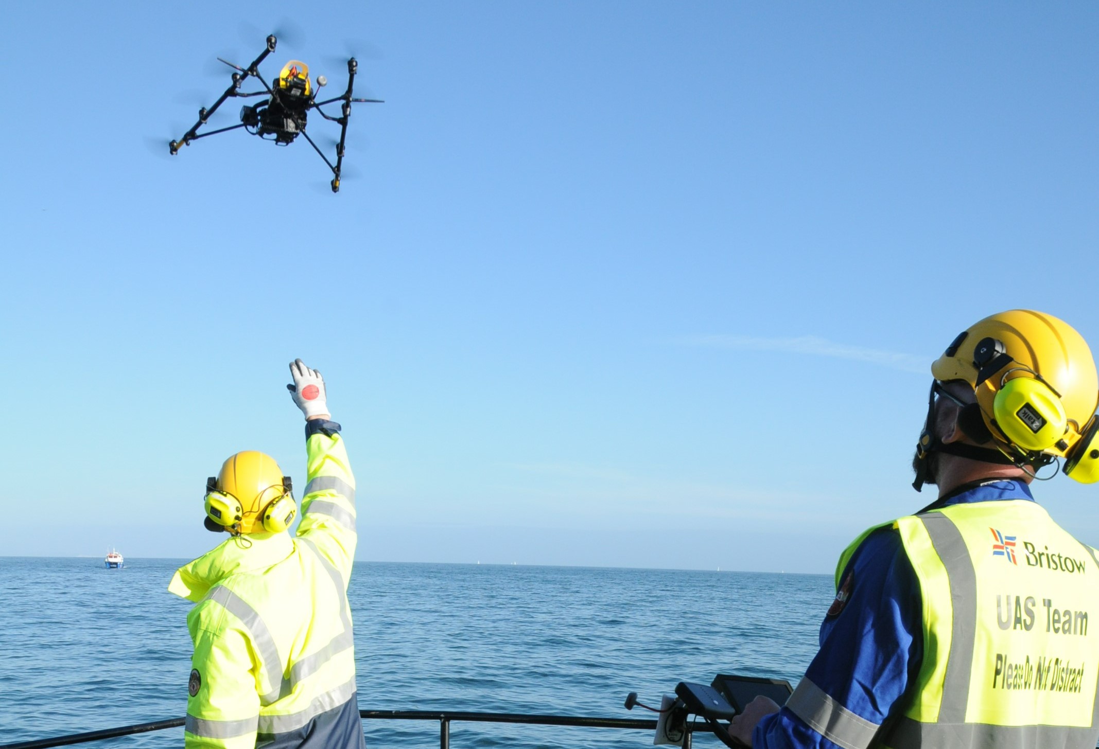
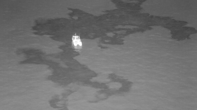
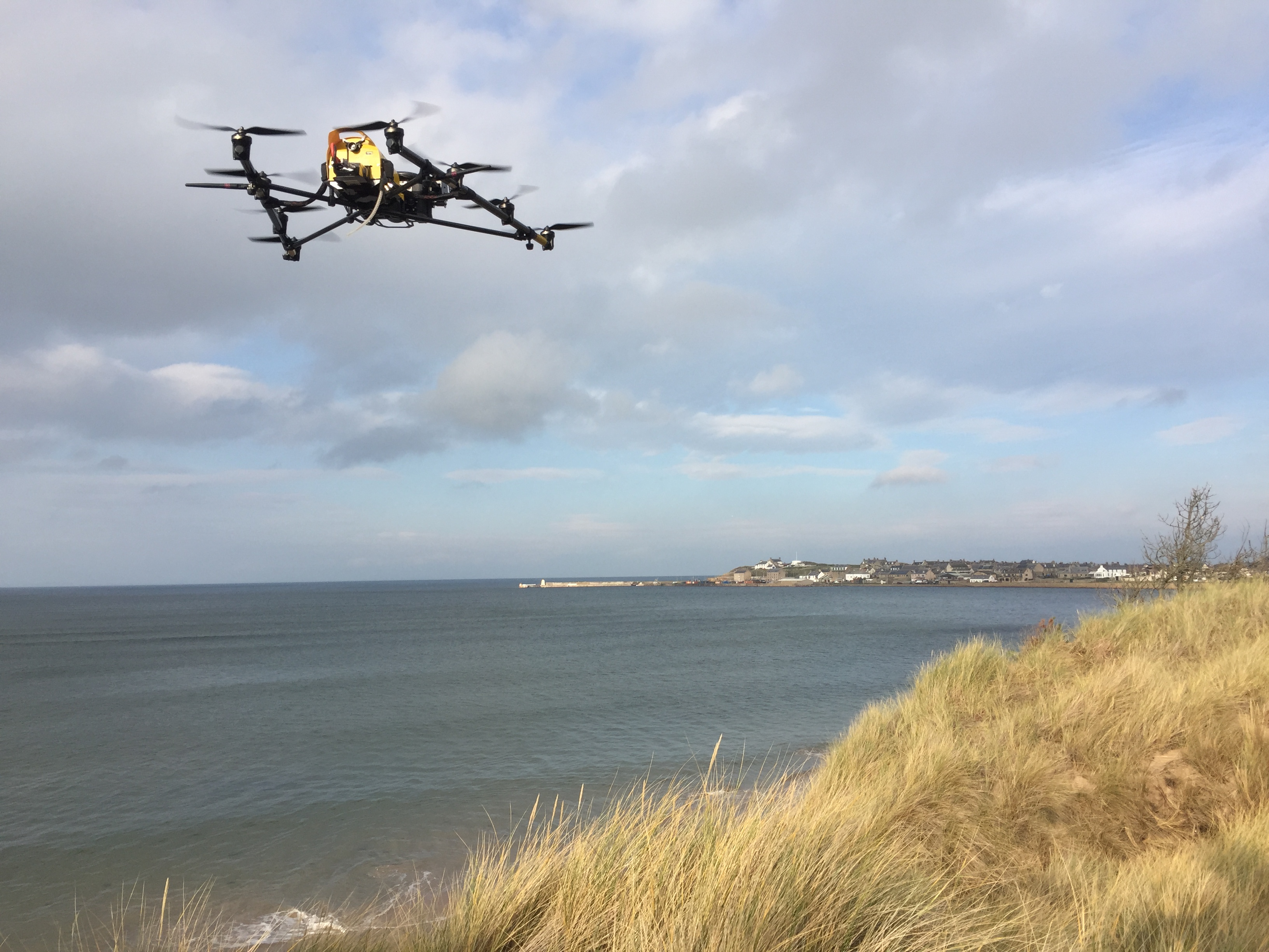
UAVs can range from rotary to fixed wing, long-range high-altitude to short-range low-altitude. They can utilise multiple sensors including Visual (HD), Infrared, and Ultraviolet to support a response. Additionally, some UAVs can be used for gas monitoring.
They can also can keep personnel out of potentially hazardous spill response situations, as well as providing efficiencies during shoreline surveys, supporting SCAT teams, and have potential applications for inland and offshore operations. Their uses are extremely versatile.
UAV providers should be fully integrated into response processes and workflows through regular exercises, training, and collaboration on procedures ensuring consistency and standardisation of outputs.
A response specialist is able to provide expertise on interpreting UAV outputs and directly supporting a UAV team to ensure effective mission support and valuable deliverables are produced for in-field teams and the Incident Command.
Other benefits of UAV use are:
- Provide access to hard to reach areas
- Provide a different perspective to ground surveys and other surveillance
- Lower cost relative to manned aircraft
- Variety of sensors can be used
- Typically require minimal space for launch and recovery (reach some places inaccessible to other aircraft) providing greater flexibility in-field
- Can package into easy to handle bags
Applications of UAVs in a Response
- Shoreline clean-up assessment Technique (SCAT) team support (segmentation, determining scale of oil, form completion)
- Habitat mapping
- Booming plan development
- Site security
- Post treatment inspection
- Hazing wildlife
- Verification of oiling
- Improve offshore encounter rates
- Gas monitoring
- Salvor support
- Wildlife surveying
- Preparedness services (sensitivity mapping)
- Equipment and people tracking
- Long term monitoring
- Short range and long range missions

Outputs and Deliverables
- Geo referenced imagery, and video of the overflight
- Real time imagery and video transmitted to responders in-field
- Track logs of the UAV flight
- UAV overflight report (as required)
- Other GIS compatible products, and live streaming to a command centre may be available upon request, and will be subject to availability of equipment and personnel.

UAV Mobilisation and Response
To provide a UAV capability, OSRL has entered into strategic partnerships with UAV operating companies. Regular training and the standardising of response procedures/outputs helps to ensure a consistent approach is achieved during each incident.
- UAVs can be mobilised through contacting the OSRL Duty Manager
- Response is on a best endeavours availability and is dependent upon obtaining permission to fly availability of the UAV suppliers to respond
- Each UAV team comprises of an experienced UAV Pilot and Sensor operator and an OSRL response specialist.
Download the Technical Information Sheet
We've got you covered!
Wherever in the supply chain your oil spill risks lie, we are ready to respond with our expertise and resources anytime, anywhere with our Member Response services.


